UN
4 Glenwood
£ 167,500
Description
We don't have a Description for this property.
- Bedrooms
- 4
- Bathrooms
- 0
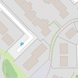
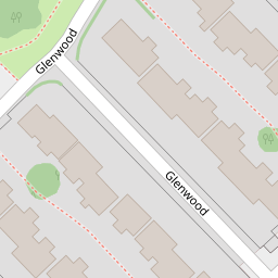
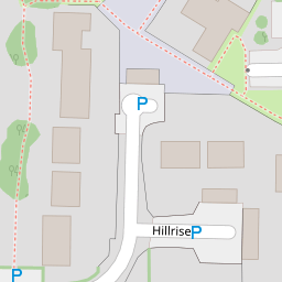
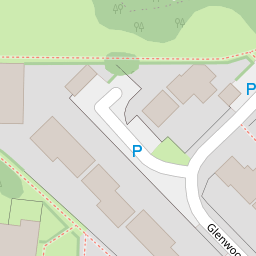
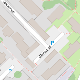
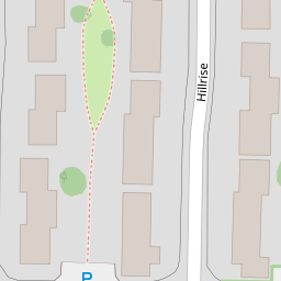

Leaflet © OpenStreetMap contributors
The heatmap indicates the level of crime in the area. The color of the heatmap indicates the crime severity and recency.
Metrics Year-on-Year
- Average area value
- 208,649.00 £Increased by 1.69 %
- Average area rental value
- 1,055.00 £/moDecreased by 7.37 %
- Est rental Yield
- 6.07 %Decreased by 8.86 %
- Crime Rate
- 6.00 %Unchanged by 0.00 %
from 205,174.00 £
from 1,139.00 £/mo
from 6.66 %
from 6.00 %
Nearby Schools
| Name | Type | Ofsted | Distance |
|---|---|---|---|
| Springwood Primary School | Welsh Establishment | 0.24 KM | |
| All Saints C.I.W. Primary School | Welsh Establishment | 0.91 KM | |
| St Phillip Evans R.C. Primary School | Welsh Establishment | 1.03 KM | |
| Lakeside Primary School | Welsh Establishment | 1.15 KM | |
| Llanedeyrn Primary School | Welsh Establishment | 1.27 KM |
Images
Nearby Streets
| Name | Average Price | Average Sqft | Distance |
|---|---|---|---|
| Hillrise | £ 244,990 | 0 | 0.00 KM |
| Cyn-Coed Crescent | £ 885,000 | 0 | 0.00 KM |
| Glenwood | £ 250,000 | 0 | 0.00 KM |
| Cyn-Coed Avenue | £ 788,333 | 0 | 0.00 KM |
| St Edeyrn's Close | £ 975,000 | 0 | 0.00 KM |
Nearby Transport
| Name | NLC | TLC | Distance |
|---|---|---|---|
| Heath High Level | 3845 | HHL | 2.50 KM |
| Heath Low Level | 3908 | HLL | 2.55 KM |
| Llanishen | 3847 | LLS | 3.12 KM |
| Cathays | 3820 | CYS | 3.78 KM |
| Cardiff Queen Street | 3900 | CDQ | 4.05 KM |
Nearby Listings
| Address | Price | Type | Score | Distance |
|---|---|---|---|---|
| Glenwood, Cardiff, CF23 | £ 300,000 | BUY | 7 / 10 | 0.00 KM |
| Glenwood, Cardiff | £ 240,000 | BUY | Unknown | 0.00 KM |
| Glenwood, Cardiff | £ 220,000 | BUY | Unknown | 0.09 KM |
| Hill Rise, Llanedeyrn, Cardiff, CF23 | £ 239,950 | BUY | Unknown | 0.17 KM |
| Hill Rise, Llanedeyrn, Cardiff | £ 285,000 | BUY | 6 / 10 | 0.18 KM |
Nearby Properties
| Address | Price | Distance |
|---|---|---|
| 25 Glenwood | £ 137,000 | 0.00 KM |
| 11 Glenwood | £ 200,000 | 0.00 KM |
| 1 Glenwood | £ 138,000 | 0.00 KM |
| 22 Glenwood | £ 115,000 | 0.00 KM |
| 28 Glenwood | £ 147,000 | 0.00 KM |